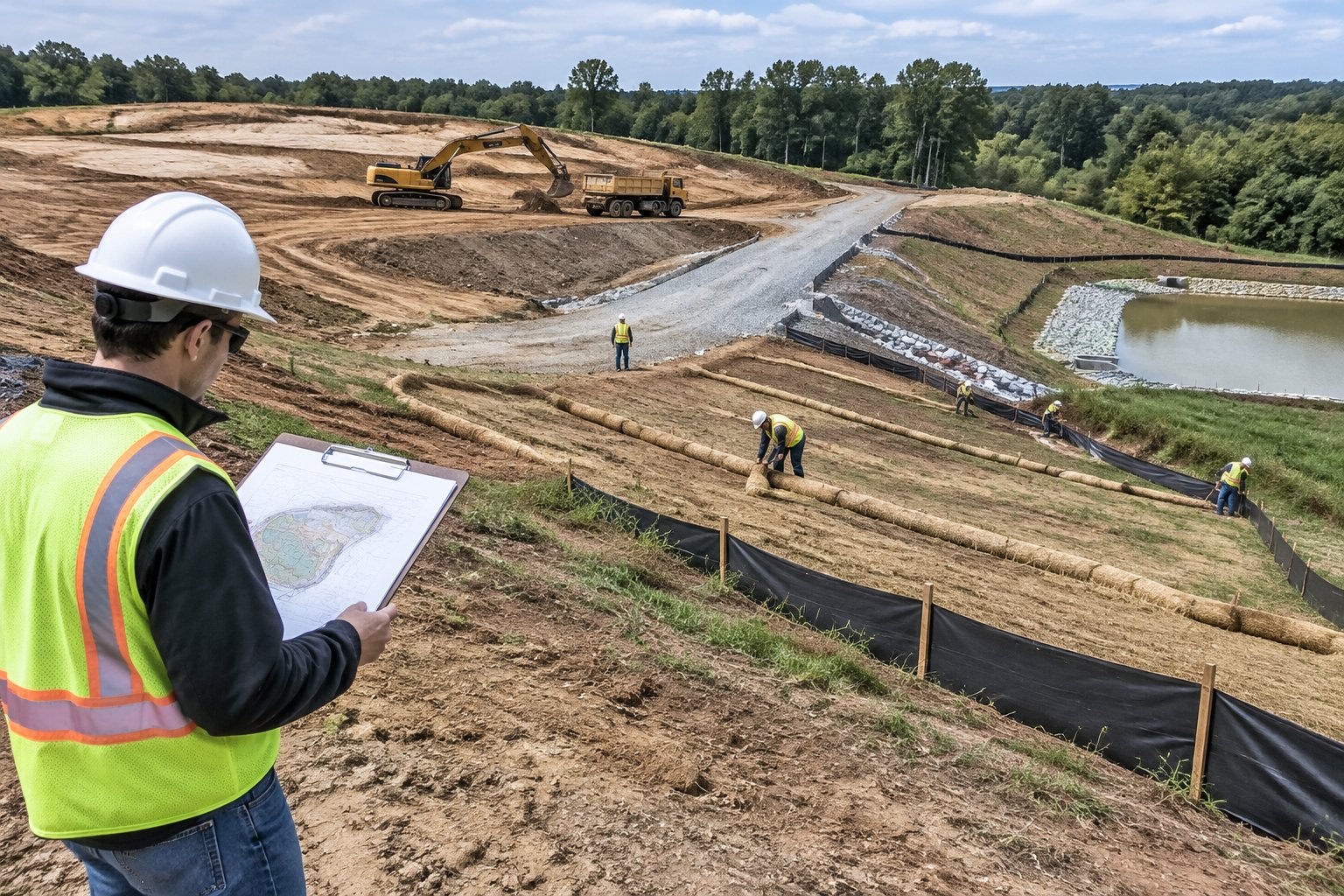
The erosion control sheets in a plan set look tidy on the day they are stamped. Three weeks into grading, the drainage has changed, a haul road cuts across a silt fence line and the inspector is due Thursday. An erosion control plan is the site-specific set of maps, details and schedules that shows which controls go where, when each one goes in, who maintains them and how every disturbed area reaches final stabilization. On permitted Texas sites it sits inside the SWP3, and its job is to turn permit language into work a crew can build.
This article covers what belongs in the plan and how it actually gets built and kept current on a commercial job. For the inspection and paperwork side of stormwater permits, see our guide to keeping Texas sites inspection ready for stormwater compliance.
What Does an Erosion Control Plan Include?
A plan a superintendent can build from has five parts. If any of them is missing or vague, the field crew ends up guessing.
- Site map: limits of disturbance, existing and proposed drainage, every inlet and outfall, and the receiving ditch, creek or pond.
- Control locations: silt fence, inlet protection, construction exits, check dams, sediment traps, stockpile and washout areas.
- Construction details: how each control is built, including trench depth, staking, overlaps and tie-ins.
- Stabilization schedule: which areas get temporary cover and which get permanent seeding, tied to the grading phases.
- Responsibilities: who installs, who inspects, who repairs, with a name and phone number against each role.
The plan also has to match the permit it supports. In Texas that is usually TCEQ's construction general permit (TXR150000); Louisiana sites fall under LDEQ's LPDES program. TCEQ's overview of the Texas permit treats sites disturbing 1 to under 5 acres as small construction sites and 5 acres or more as large, with an NOI required for large sites. Cities, counties and MS4 operators can add their own requirements on top, so pull the current permit text and local rules for each job rather than recycling an old plan.
How Do Site Conditions Shape the Plan?
Controls go where water goes, so the plan starts with a walk of the ground. Mark every area that will lose cover, note the soil and trace where runoff collects and leaves. Expansive Gulf Coast clays seal and shed water quickly, while sandy soils move with very little flow. Long or steep slopes need cover on the face, because a perimeter barrier at the bottom will be overwhelmed.
Then look at how the site will be worked. Construction exits belong where trucks actually leave, not where the drawing put them before the haul route was chosen. Stockpiles and washouts need a spot away from inlets and drainage paths. If an access road crosses a runoff path, plan for it now, because that crossing will be the first thing to fail in a storm.
Which Controls Prevent Erosion and Which Catch Sediment?
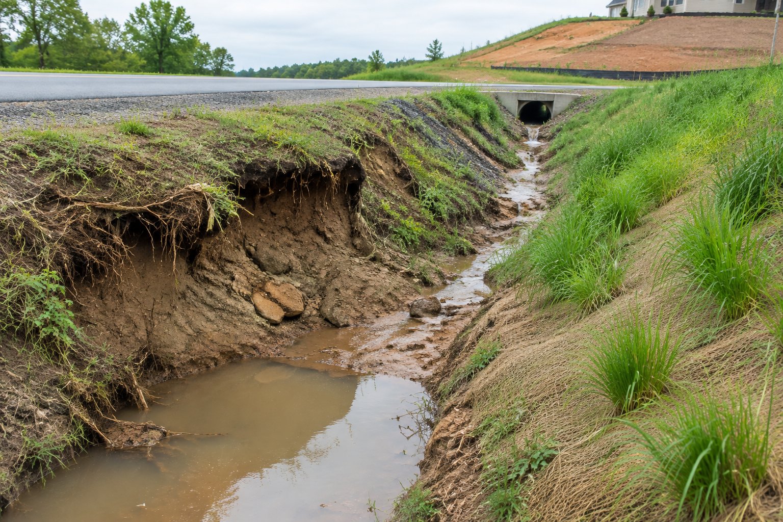
Every plan needs both, and they do different jobs. Erosion controls keep soil in place. Sediment controls catch soil that has already moved. Cover on bare ground does the heavy lifting, and sediment controls are the backup.
Sediment controls fill up and fail when they are asked to stop everything. A pad left bare for six weeks will bury a silt fence however well it was trenched. Our explainer on what silt fence does on active sites covers placement and the most common installation faults.
Choosing the Cover for Each Area
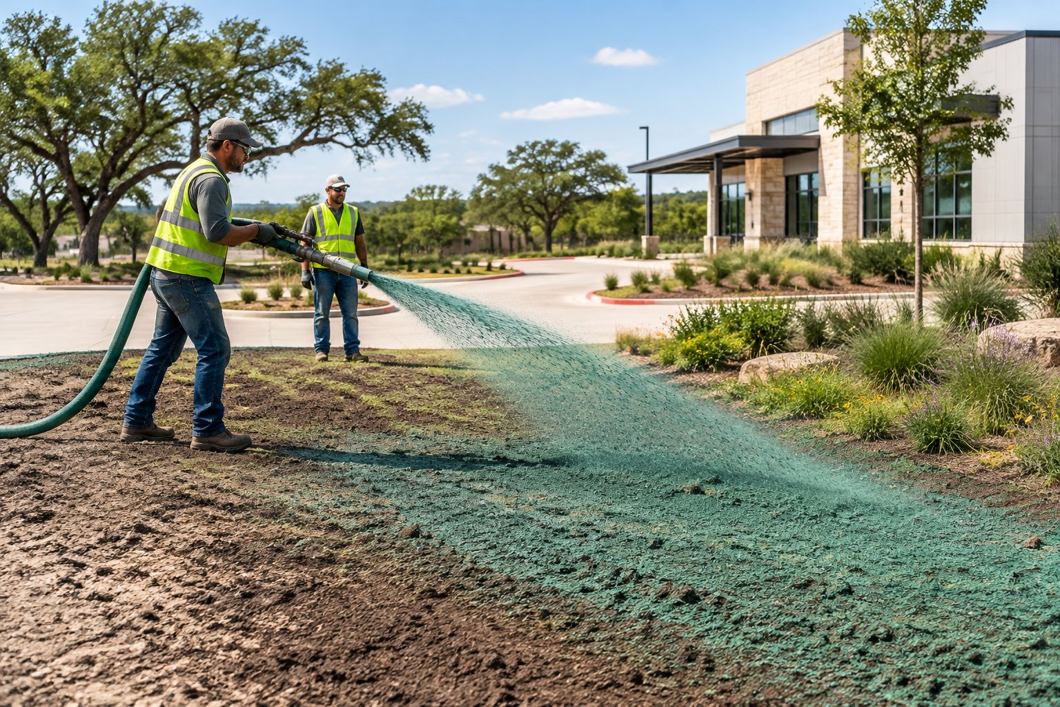
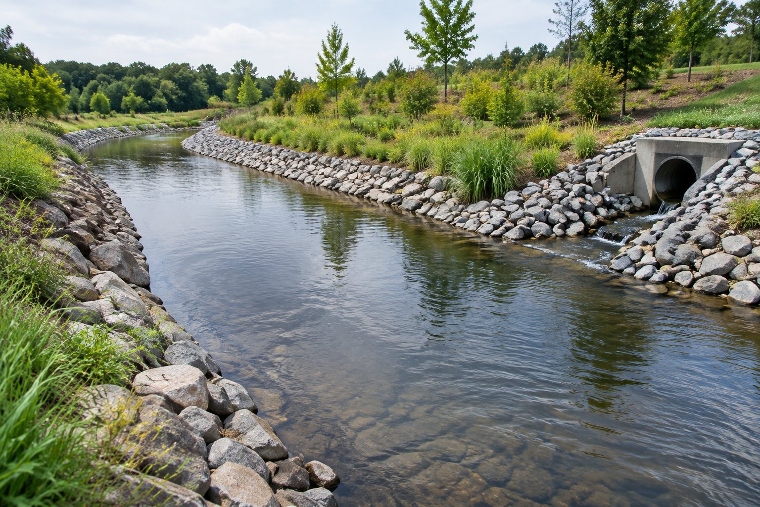
Match the stabilization method to the ground and to how long it will sit. Flat pads and gentle slopes that are finished take hydroseeding with a permanent mix. Areas that will be disturbed again in a few weeks take hydromulch or a fast temporary cover; our post on cutting erosion risk with hydromulching explains when mulch alone is the right call. Steep cuts and fills step up to bonded fiber matrix or Flexterra HP-FGM, and channels carrying concentrated flow need blankets or an engineered lining. Large open acreage is often drill seeded and capped with hydromulch.
How Is the Plan Built in the Field?
The order matters as much as the controls. A typical sequence on a commercial site:
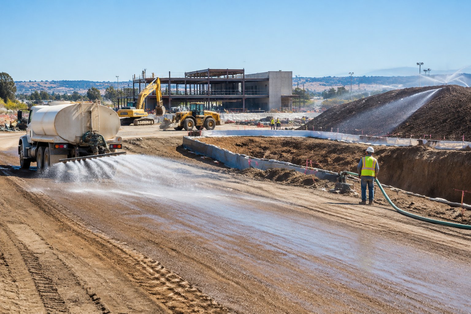
- Install construction exits and perimeter controls before clearing starts.
- Protect inlets and outfalls that will take runoff from the work.
- Clear and grade in phases, opening only what the crews can work and close.
- Stabilize each finished area promptly with temporary or permanent cover.
- Move, add or remove controls as drainage changes, and mark up the site map every time.
Phasing is the most useful tool on the list. The less bare soil facing a given storm, the less sediment reaches the perimeter. During hurricane season it also keeps a single tropical system from setting the whole job back.
Turning the Plan into a Stabilization Scope
Before the seeding sub is called, pull the stabilization items off the plan sheets and list each area with its acreage, slope, soil, cover type and target date by phase. That list is what lets a stabilization contractor price the work accurately and schedule mobilizations around grading. For a rough number while the scope is still taking shape, our online pricing calculator gives a range for standard hydroseeding.
How Do You Keep the Plan Current Until Closeout?
An erosion control plan is a working document, and the most common inspection finding is a map that no longer matches the site. TCEQ's overview of the Texas construction general permit describes inspections at least once every 14 calendar days and within 24 hours after a storm of 0.5 inches or more, or every 7 days as an alternative. Whatever your permit requires, inspect before forecast storms too.
After each inspection the usual fixes are rebuilding undercut silt fence, clearing clogged inlet protection, removing trapped sediment, regrading rills and reseeding thin spots. Record each fix on the inspection form and update the map when a control moves.
Vegetation is what ends the plan. Under the Texas permit, final stabilization means uniform perennial vegetative cover with a density of at least 70 percent of the native background cover, and it has to be reached before coverage is terminated. Keep sediment controls in place until then, photograph stabilized areas with dates and remove temporary controls once the criteria are met, as the plan directs.
Bring Us in When the Stabilization Sheets Are Ready
Allied Hydromulch has installed seeding and erosion control services on commercial, municipal and industrial sites across Texas and Louisiana since 1990. We work from your plan sheets, phase the work with your grading and come back when the site changes. Send us the stabilization sheets through our contact page or call 281-482-8212.
Frequently Asked Questions
Is an erosion control plan the same as a SWP3?
No. The erosion and sediment control plan is one part of the SWP3 (or SWPPP). The full document also covers other pollutant sources, good housekeeping, inspections, records and the permit filings.
Can we reuse a plan from a previous job?
You can reuse the format, but not the content. Drainage, soils, phasing, local rules and the permit terms differ on every site, and inspectors check the plan against what is built.
Who prepares the plan and who builds it?
The plan is usually prepared by the civil engineer or a qualified erosion control professional. The operator and its contractors install and maintain the controls, with specialty subs handling items such as hydroseeding, bonded fiber matrix and Flexterra.
Does hydroseeding replace silt fence and inlet protection?
No. Seeding covers the soil, but sediment controls stay in place until the site meets final stabilization. The two work together under the plan.