.svg)


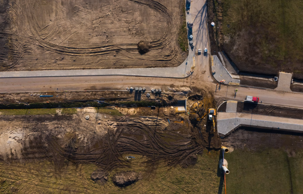
A graded pad in Chambers County can hold for weeks, then lose a slope face in one Gulf Coast rain event. Sediment leaves the site, ditches fill, and the inspector shows up before the crew can regrade.
Effective erosion control in Chambers County, TX starts before the first heavy rain, with sediment control installed at the perimeter, drainage paths protected, and disturbed soil covered by hydraulic mulch, erosion blankets, or vegetation as each phase closes out. That sequencing keeps stormwater compliance intact and keeps rework off the schedule.
Chambers County sits on flat, clay-heavy Gulf Coast ground. Water moves slowly across the surface, then concentrates fast in ditches and swales. Sites near Anahuac, Mont Belvieu, Cove, and the I-10 corridor deal with high rainfall totals, tropical systems, and soils that seal over instead of soaking in.
By the end of this article, you will know which stabilization method fits your slopes, when to install it relative to grading, and what details to gather before you ask for a proposal.
Why Construction Sites Need Early Stabilization
Bare soil is the single largest source of sediment on an active job site, and it starts producing the moment the topsoil comes off. Early stabilization limits soil loss while the project is still moving.
Waiting until final grade is a common mistake. On a flat coastal site, a two-inch rain can move enough material to plug a culvert and trigger a corrective action. Temporary cover on stockpiles and completed areas costs far less than cleaning out a drainage channel.
How Soil Erosion Creates Sediment and Schedule Risks
Soil erosion turns into a schedule problem the moment sediment leaves your property line. Muddy discharge into a county ditch or receiving stream can indicate a control failure or potential noncompliance, depending on the applicable requirements and circumstances. Either one pulls the project manager off the critical path.
The chain is predictable:
- Rain detaches soil particles from exposed slopes and pads
- Runoff carries those particles toward low points and ditches
- Sediment settles in culverts, inlets, and detention basins
- Crews stop production work to clean out and repair
- Inspection findings delay permit closeout and final acceptance
Each cleanup cycle also disturbs soil again, which restarts the problem. That loop is what drives rework costs, not the original rain event.
Where Exposed Soil Fails First After Heavy Rain
Failures show up in the same places on nearly every Chambers County site. Slope faces steeper than 3H:1V lose material first, because sheet flow picks up speed as the grade increases.
Watch these areas closely:
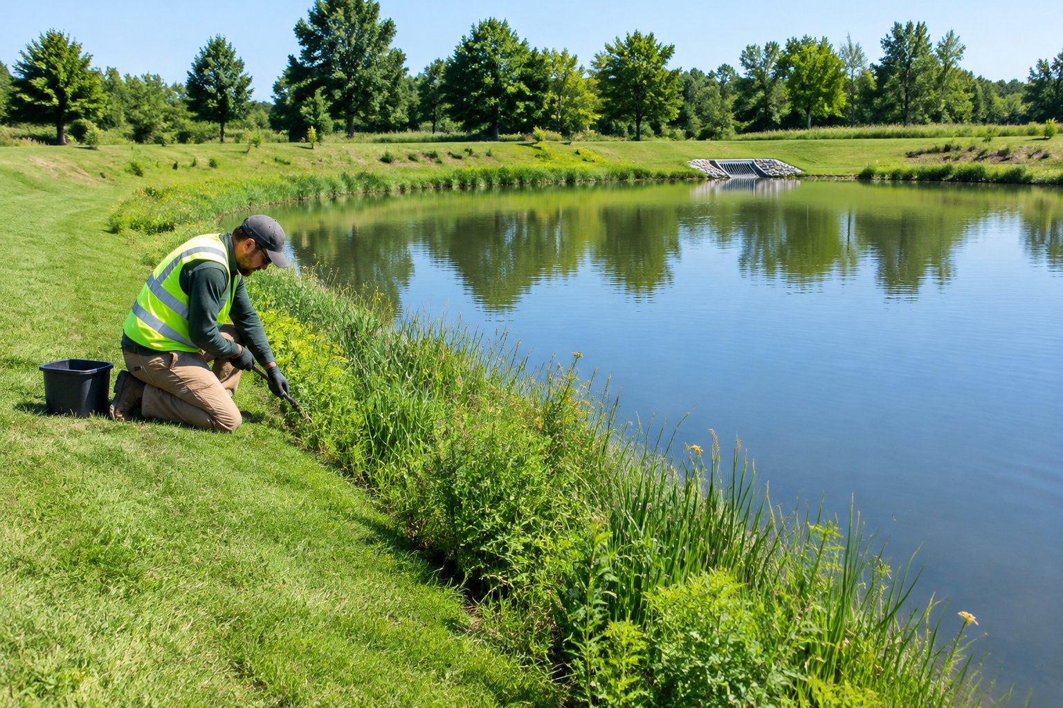
- Detention and retention pond side slopes, especially freshly cut interior banks
- Roadside ditch backslopes along county right of way
- Stockpile faces left uncovered between phases
- Outfalls and pipe discharge points where flow concentrates
- Fill slopes along entrance roads and haul routes
TxDOT's guidance on erosion prevention notes that embankments and drainage channels are the areas most susceptible to erosion, and that concentrated runoff from pavement surfaces often drives the worst damage on embankments.
How Ground Cover Supports Site Stability
Ground cover protects soil two ways: it absorbs raindrop impact, and it slows surface flow. Both effects reduce detachment before water ever reaches a ditch.
Hydraulic mulch and erosion blankets give immediate protection while seed germinates underneath. Once roots take hold, the vegetation itself becomes the long-term defense. Landscape health and site stability are the same conversation on a construction project: vegetation that meets the permit's final stabilization criteria is part of what lets you close out permit coverage.
For sites under active review, our erosion control for compliance pressure approach covers how cover timing lines up with inspection cycles.
Coordinating Drainage Erosion Control in Chambers County With Site Work
Drainage erosion control in Chambers County works best when it is planned against the grading sequence, not bolted on afterward. Drainage systems on a site change shape every week during earthwork, and protection has to move with them.
The county maintains nearly 300 miles of roads and roadside drainage, and the Road and Bridge and Engineering Department handles drainage and stormwater management, including culvert installation and ditch maintenance. Anything your site discharges into that network becomes part of the conversation.
Reviewing Drainage Plans Before Mobilization
Pull the approved drainage plan before scheduling any stabilization work. The plan tells us where flow concentrates, where the outfalls sit, and which areas will stay disturbed the longest.
Useful items to have in hand:
- Grading plan with proposed contours and slope ratios
- Storm sewer and culvert layout with outfall locations
- Detention or retention basin details and design water surface
- Phasing plan showing which areas open and close by month
Chambers County publishes a drainage checklist and a drainage criteria manual through its engineering department resources, which is the right starting point for confirming what the county expects on a specific development.
Protecting Ditches, Swales, and Retention Areas
Channels need different treatment than slopes because flow is concentrated, not sheet flow. A hydraulic product rated for a 3H:1V embankment will not hold in a ditch carrying regular flow.
Match the treatment to the duty:
- Grass-lined swales with low flow: seeded and covered with a protective mulch system
- Ditches with frequent flow: soil retention blankets or channel liners rated for the expected shear stress
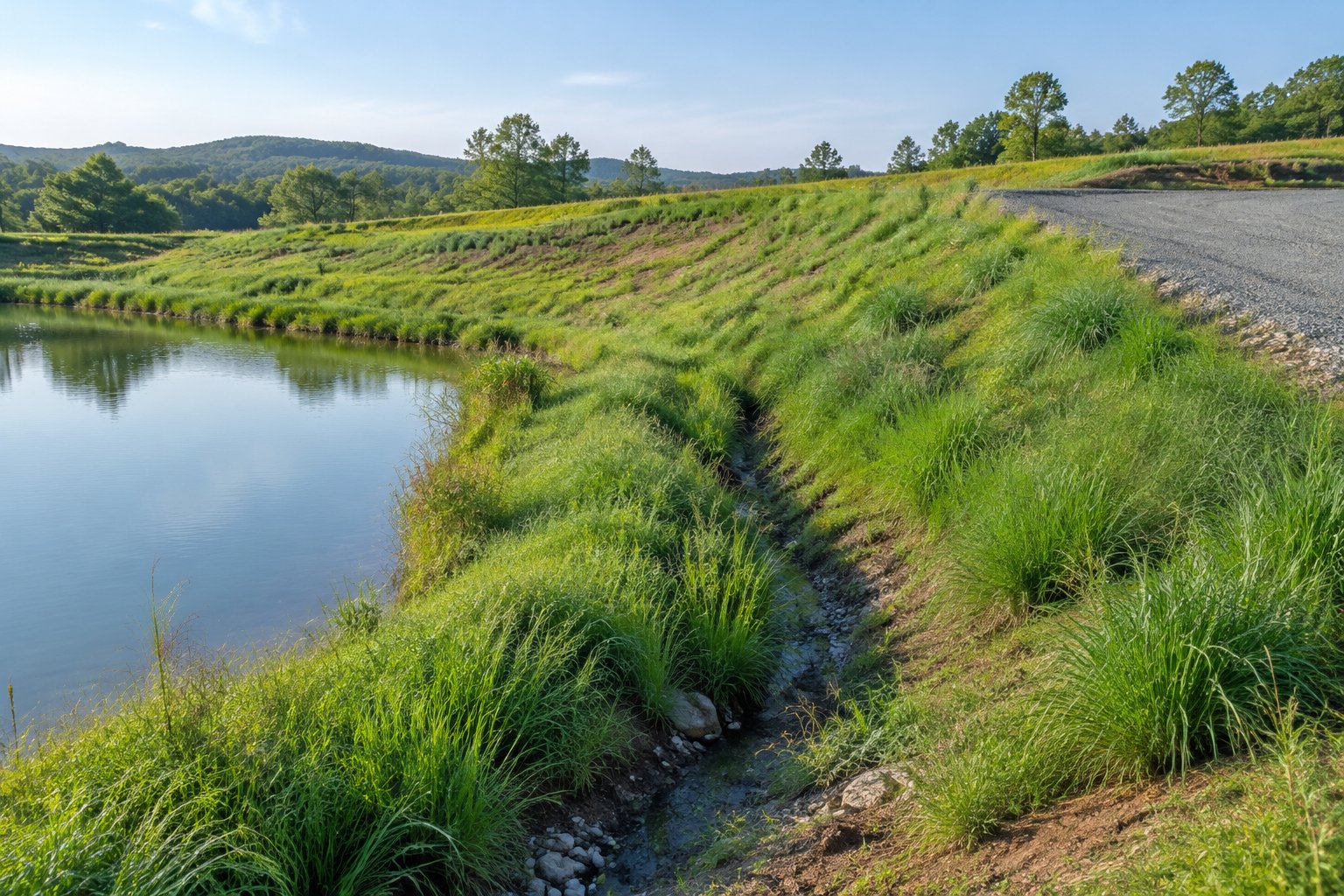
- Pond side slopes: hydraulic soil stabilizers or blankets, depending on steepness and length of slope
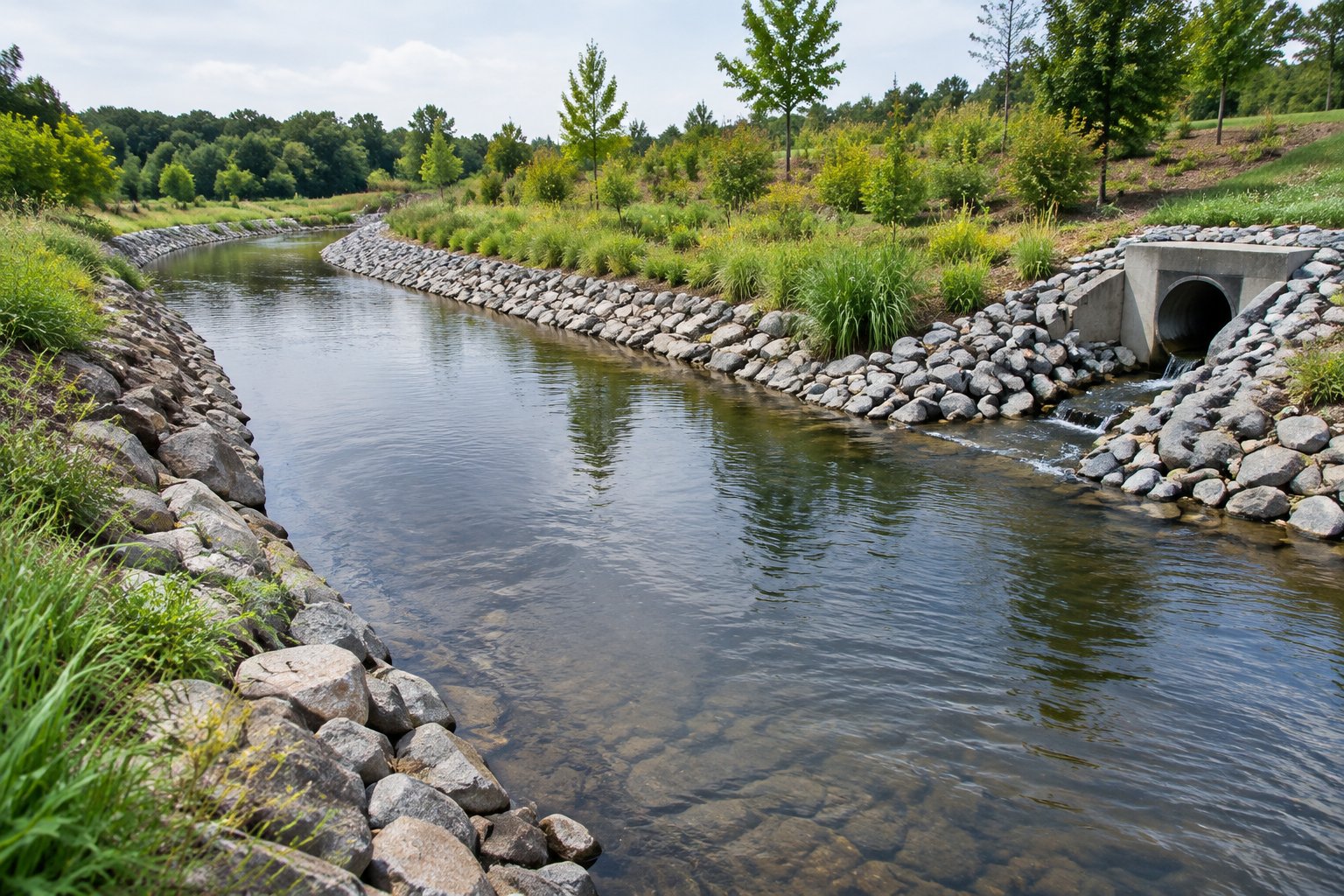
- Outfall aprons: structural protection installed by the civil contractor, with vegetation established around the perimeter
Retention areas carry their own timing issues. Our notes on hydroseeding for retention ponds cover how basin completion lines up with permit milestones.
Managing Changing Runoff Paths as Grading Progresses
Runoff paths shift every time the dozers move. A swale that drained north in March may drain east by June, and the erosion control that protected the old path now protects nothing.
Walk the site after each major grading phase. Look for new low points, rills forming on fresh cut, and any place where water is now leaving the site that was not leaving before. Improved drainage in one area frequently creates a new concentration point somewhere downhill.
Re-mobilizing a hydroseeding crew for a 2-acre area is far cheaper than repairing a washed-out ditch. Build that assumption into the schedule from the start.
Selecting Sediment Control and Stabilization Methods
Sediment control in Chambers County splits into two jobs: keeping soil in place, and catching what still moves. Erosion control handles the first, sediment control handles the second, and most sites need both.
Perimeter devices such as silt fence and inlet protection trap sediment after detachment has already happened. Surface treatments prevent the detachment. Relying only on perimeter devices is how sites end up with silt fence buried to the top rail after one storm.
When Hydraulic Soil Stabilizers Fit the Site
Hydraulic soil stabilizers work well on large, open areas where equipment can reach the slope from the top or bottom. They are sprayed on, so coverage is fast and continuous across irregular ground.
Good fits include:
- Broad pad areas awaiting the next construction phase
- Gentle to moderate slopes with sheet flow, not concentrated flow
- Stockpiles that need cover for several weeks
- Sites where installation speed matters more than long service life
On a large tract, hydraulic application covers ground quickly. In 2025 we mulched approximately 15 million square feet for more than 60 unique clients.
Where Erosion Blankets and Protective Mulch Systems Apply
Erosion blankets earn their place on steep slopes, channels, and anywhere flow concentrates. They are rolled out and stapled, giving physical armoring that a sprayed product cannot match in a moving channel.
TxDOT's approach to channel liners and soil retention blankets separates organic and synthetic lining materials, noting that synthetic products are preferred in ditches and channels with frequent flows deeper than 8 inches. Organic and composite blankets support vegetation establishment but offer limited long-term channel protection.
Protective mulch systems fill the middle ground. They hold moisture for germination and shield soil on slopes too steep for plain seeding but not severe enough to require a blanket.
When Flexterra Is Appropriate for Steep Slopes and Disturbed Soil
Flexterra is a flexible growth medium (FGM) built for demanding conditions: steep slopes, long slope lengths, and heavily disturbed soil where standard hydraulic mulch will not hold. We specify it when the slope geometry or the rain exposure makes a lower-performance product a risk.
It bonds tightly to the soil surface and stays put during high-intensity rainfall, which matters on Gulf Coast sites during hurricane season. Details on Flexterra slope protection explain where it can outperform conventional mulch.
Planning Vegetation Establishment With Hydroseeding or Native Grass Seeding
Vegetation is the permanent answer, and the seed choice depends on how the area will be maintained. Hydroseeding puts down a slurry of seed, mulch, fertilizer, and soil conditioners. With favorable temperatures and moisture, germination often begins within 7 to 14 days, and a usable cover can develop in 4 to 6 weeks depending on weather and irrigation. Vegetation that meets final stabilization criteria takes longer.
Native grass seeding suits areas nobody will mow: pond perimeters, right of way strips, and restored acreage. Germination often takes 2 to 4 weeks, and establishment can take several months. The payoff is deep roots and low long-term maintenance, covered further in our native grass seeding for site restoration guidance.
Large commercial tracts often use both. Our work on hydroseeding large commercial sites walks through how coverage areas get divided by use and maintenance plan.
Planning for Stormwater Management and Project Compliance
Stormwater management for construction sites in Chambers County runs through the state permit first. The Texas Commission on Environmental Quality (TCEQ) regulates construction activities that discharge stormwater to surface water in the state and disturb one acre or more of soil, including smaller disturbances that are part of a larger common plan of development, under general permit TXR150000.
Sites disturbing five or more acres are large construction activities. Sites disturbing at least one but less than five acres are small construction activities. If the work is part of a larger common plan of development, the total disturbed acreage counts, even across phases.
What to Confirm With the Applicable Jurisdiction
Confirm two things: your state permit status and your local drainage requirements. They are separate reviews with separate submittals.
At the state level, TCEQ requires operators of covered sites to develop and implement a Stormwater Pollution Prevention Plan (SWP3) before construction begins and to post a site notice. Filing requirements differ by size: large construction sites generally submit a Notice of Intent, and the $225 fee applies to an NOI filed electronically through STEERS, while small construction sites follow different requirements that generally do not include an NOI. TCEQ construction stormwater guidance explains which requirements apply to your site.
Locally, the Chambers County Engineering Department reviews residential and commercial development within the county and the cities' extra-territorial jurisdiction. Projects inside Anahuac, Mont Belvieu, Beach City, Cove, or Old River-Winfree may also answer to that city's requirements, so verify which jurisdiction has authority over your parcel before finalizing the plan.
How Inspection Timing Affects Stabilization Priorities
Inspection cycles decide what gets stabilized first. Anything visible from the road, adjacent to a receiving ditch, or already at final grade should move to the front of the queue.
A practical priority order on most sites:
- Areas draining directly off site or into county ditches
- Slopes steeper than 3H:1V at or near final grade
- Detention and retention basin side slopes
- Long-term stockpiles and laydown yards
- Interior pads scheduled for later construction
Keeping ahead of the inspector is largely a scheduling exercise. Our notes on keeping sites inspection ready cover how to sequence applications around review dates.
Documenting Conditions and Completed Erosion Control Work
Documentation supports permit closeout, but removing temporary controls alone does not make a site eligible to end coverage. For large construction sites, a Notice of Termination (NOT) is generally due within 30 days after a termination condition is met, such as final stabilization of all disturbed areas under the operator's control with temporary controls removed as required, or a transfer of operational control to another operator. Small construction sites follow a different closeout process. The TCEQ large-construction permit steps list the operator, stabilization, transfer, and closeout conditions that apply.
Keep a running record as the work happens:
- Dated photos before, during, and after each application
- Product names, application areas, and square footage installed
- Seed mix used and application date by area
- Field notes on weather at time of application
- Copies of SWP3 updates when site conditions change
That file is what supports your closeout package. Reconstructing it months later from memory rarely goes well.
What to Prepare Before Requesting an Erosion Control Proposal
Accurate proposals come from accurate site information, and the biggest variables are acreage, slope, and access. Giving a contractor those three things up front removes most of the guesswork from budgeting.
Vague scopes lead to change orders. A proposal built on a real grading plan holds much closer to the final invoice.
Site Details That Affect Scope, Access, and Scheduling
Gather the following before the call:
- Total disturbed acreage and the portion ready for stabilization now
- Grading plan or site plan showing slopes and drainage features
- Soil type and any known compaction or drainage problems
- Access routes for hydroseeding equipment and water supply location
- Required completion dates tied to inspections or permit milestones
- Specification references, such as TxDOT items or owner standards
Water availability matters more than most people expect. A nearby fill point shortens cycle times significantly on large applications.
How to Identify High-Risk Slopes and Drainage Areas
Walk the site after a rain. Standing water, rills, and sediment fans mark the areas that will fail again.
Flag anything steeper than 3H:1V, any slope longer than about 50 feet without a break, and every point where water leaves the property. Those locations usually need a higher-performance product than the flat pads. Note existing drainage problems too, because a ditch that already backs up will keep depositing sediment regardless of what happens upslope.
How Project Phasing Affects Budgeting and Re-Mobilization
Phasing drives cost more than material choice on many jobs. Each separate mobilization carries equipment, crew, and travel time, so five small applications cost more than one large one covering the same area.
Group work where the schedule allows. When phases are locked in, plan for the mobilizations and budget them openly instead of absorbing them as surprises. For rough numbers early in the process, Allied's calculator estimates standard hydroseeding from your project size in square feet. Blankets, channel protection, and other erosion control items need a project quote.
Timing also affects seed performance. The hydroseeding germination timeline in Texas shows how season and application date affect closeout planning.
Stabilize the Site Before Runoff Becomes Rework
Soil erosion on a Chambers County job site is a scheduling problem dressed up as a weather problem. The sites that stay clean are the ones where stabilization is scheduled alongside grading, not after it.
Match the method to the condition: hydraulic stabilizers on open pads, blankets and channel liners where flow concentrates, Flexterra on the steep and difficult slopes, and hydroseeding or native grass seeding for permanent cover. Protect the drainage system while grading changes it, and keep documentation current so improved drainage and completed cover both show up in your closeout file.
Allied Hydromulch TX, LLC has handled erosion control in Chambers County, TX and across the Gulf Coast since 1990. Send us your grading plan and phasing schedule to request a project quote. Call 281-482-8212 to talk through slopes, access, and timing on your site.
Frequently Asked Questions
What Erosion Control Measures Are Needed for an Active Construction Site in Chambers County?
Most active sites need a combination of perimeter sediment control, inlet protection, and surface stabilization on disturbed soil. The specific mix depends on slope, drainage layout, and what your Stormwater Pollution Prevention Plan (SWP3) commits to. Sites disturbing one acre or more fall under the TCEQ construction general permit, which sets the baseline.
How Do Drainage Plans Affect Erosion Control on a Construction Site?
The drainage plan shows where flow concentrates, which determines whether an area needs sprayed hydraulic mulch or a blanket rated for channel flow. Drainage erosion control in Chambers County also depends on where your site discharges, since anything entering a county ditch becomes part of the compliance conversation. Review the plan before scheduling any application.
When Should Sediment Control Be Installed During Site Grading?
On Chambers County sites, sediment control goes in before soil is disturbed, not after. Perimeter devices and inlet protection should be in place at mobilization, with surface stabilization following each area as it reaches temporary or final grade. Waiting until the end of grading leaves the site exposed through the highest-risk period.
What Erosion Control Works on Steep Slopes and Drainage Channels?
Steep slopes typically call for a flexible growth medium such as Flexterra or a stapled erosion blanket, since standard hydraulic mulch can slip on long, severe grades. Drainage channels need products rated for the expected shear stress, and synthetic channel liners are preferred where flows run deeper than 8 inches. Slope ratio, slope length, expected flow, and the product's tested performance drive the selection.
How Much Does Erosion Control Installation Cost in Chambers County?
Installation cost depends on disturbed acreage, slope severity, product selection, access, and how many separate mobilizations the phasing requires. Our online calculator estimates standard hydroseeding from project size in square feet; blankets, Flexterra, channel protection, and other items are priced in a site-specific quote once we review the grading plan. Preparing the erosion control plan or SWP3 is a separate cost, usually handled by the project's engineer or stormwater consultant, and any permit fees depend on the site's filing requirements.
What Information Should I Provide When Requesting an Erosion Control Quote?
Send the grading or site plan, total disturbed acreage, slope ratios, drainage features, and your phasing schedule with target dates. Note equipment access routes, the nearest water source, and any specification requirements from the owner or TxDOT. That package lets us price the work accurately the first time.